Bellot Strait Attempt 2 - 71° 57' 04" N 96° 34' 28" W
 |
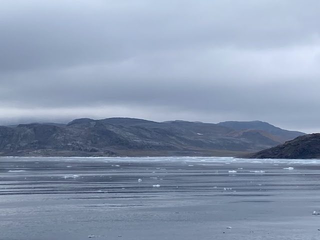
| The ice-filled Levesque Harbour |
 |
| Rugged up and ready! |
The call went out and we are off! The ice is clearing and, despite the wind and the rainy forecast, it is the ice that rules. We headed out in a convoy - Sky Dancer, Thor, Voyager and Nashichata - charging along to make Magpie Rock on slack tide. The ice we had experienced coming from Levesque Harbour was gone. There were a few growlers and small lumps of ice but nothing of the wide band from 12 hours before. It was cold and wet, hang on, that’s snow!! We all rugged up in our warmest kit, even down to ski goggles to keep out the cold and damp. The mist loomed down the Strait but there was very little ice.
 |
| Ice, snow and our winter woolies.. |
The big ice band that had caught Myhann around Magpie Rock was gone and it was clear ahead. The ice charts still showed ice at the western end so we peered through the mist searching for the telltale white of an ice band. Polar bear to the starboard! Three bears to the port! Another to the starboard but still no ice.
 |
| Zenith Point - squint and you can see the cairn |
We passed Zenith Point and its cairn marking the northernmost point of the mainland Americas. No ice yet. The snow started to fall more heavily and the visibility decreased as we motored down the grey strait. No ice. Halfway Island (hmm, I wonder why it is called that?) appeared out of the gloom and we slid by bucking a current, but still no ice.
 |
| Sky Dancer, Thor and Voyager |
Five miles to go ... four ... three ... we were getting closer and closer to the west end and were still ice-free. We started to get some swell. Not only did this mean we were nearing the end of the strait but that the water beyond was ice-free! And then we were through! Woo hoo!! One of the most challenging sections of our North West Passage voyage was complete. And it had been an easy transit without having to pick our way through ice. But no time to celebrate, we were now in Franklin Strait with a strong headwind, a gnarly swell and snow.
 |
| Nearly through and still no ice |
We bounced along in the wake of Thor and Sky Dancer heading due west towards Prince of Wales Island and the protection of Willis Bay. Again, one of the advantages of following the leader is they can warn of ice and that’s just what happened. The ice charts showed a finger of 2/10 ice extending north past the entrance of Willis Bay. Thor found it! They worked their way north and radioed back with their position sow e could avoid it. Whilst we avoided the band of ice, there were lots of growlers in the water, difficult to see amongst the white caps. We bounced and weaved our way through and finally arrived at the shelter of Willis Bay.
 |
| Watching for ice - what glorious weather! |
We are through!!! It is now more challenging to go back than it is to go forward. The next tricky bit is heading south around King William island. In most years, east side of the island through James Ross Strait is the first to clear giving access to Gjoa Haven. This is where Roald Amundsen wintered over for two seasons in his boat Gjøa on his successful attempt at being the first boat to transit the North West Passage in 1903-1906. This year, however, James Ross Strait is still blocked so we will attempt to go via Victoria Strait, skipping Gjøa Haven and heading directly to Cambridge Bay.
 |
| We'd make useless YouTubers - gotta remember to clean off the cameras occasionally! |
Comments
Post a Comment