Posts

Showing posts from April, 2017

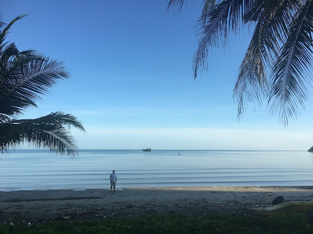
Bali Sea - 08° 00' 03" S 114° 36' 57" E

Image
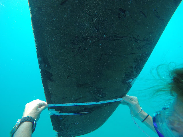
Our big, blue beautiful ocean is covered in rubbish. Flotsam and jetsam are everywhere. Not the cool stuff from sea shanties such as coconuts, planks from wrecked ships and half sunken treasure chests. Instead we have polystyrene and plastic bottles for water, motor oil, dishwashing detergent and any other product imaginable and plastic bags and Maggi noodle packages and coat hangers and chip packets spread out like a magic carpet on the water. Birds rest on the clumps of string and bottle caps, polystyrene cups, matted rope, plastic pails, chunks of wood, propane bottles and even a VHS movie box. What surprises us is the number of shoes. Every clump of crap will contain a shoe or two, all shapes, sizes and colours, from a purple sandal with barnacles to a hot pink child’s Croc and a man’s work boot. The Malacca Strait This is a much more apparent situation than the Pacific Garbage Patch , which seems to be more widely known about, even though crossing through it isn'

Tambak - 05° 44' 10"S 112° 38' 43"E

Image
What swell?? The rolly NW swell eased to dead calm, so we slept on deck under the sparkling southern stars and awoke to the haunting pre-dawn call to prayer.  We were picked up promptly at six-thirty and taken, Sean behind the school teacher and me behind one of the students, to... the school teacher's house for  photos. At the appointed time, we headed to the school. With some ceremony along with the obligatory photos, we signed the visitors' book and headed to the classroom. Sean and I have recently read 'The Rainbow Troops' by Andrea Hirata.  It is an autobiographical tale of a young boy growing up in abject poverty on Belitung and the battle that he, his classmates and teachers had to, not only stay at school, but also to save the school from closure.  He has gone on to become Indonesia's most successful author. A wonderful read! While the school we were at was not a rundown, single room school in 1970's, we recognised some of the elements described

Bawean - 05° 44' 15" S 112° 38' 45" E

Image
Following a very uncomfortable night in a rolly NW swell, our crew was seasick and we were fed up, so a full day ashore was prescribed.  We tied the dinghy to a palm tree on the beach and set off down the single-lane road into town.  Our destination was the warung run by Hartono, just before the bridge (as recommended by Ben, a fellow yachtie we met in Kumai).  As we walked along past rice paddy fields and banana plantations, we received waves and hellos and cries of 'Tourist! Tourist!' from the passing scooter traffic. Hartono's children, Akna and Firman, loving the iPad! And then, who should ride down the road and stop to say hello but Hartono himself!  In very short order, once it was established that we knew Ben, we had eaten lunch at the warung, Heather and Charlie were installed in his children's bedroom in their home for the night and we were sitting on their front porch surrounded by half the kids in town. Hartono and Fusama's house Fusama wi

On the Reef - 05° 43’ 48” S 112° 40’ 14” E

Image
After traveling for 29 hours, we were all tired and ready to drop anchor off the coast of Bawean.  The charts were said to be inaccurate, but we had been advised by previous yachties that the northern anchorage on the island was safe, although reef-strewn.  We had waypoints from the Cruising Guide to Indonesia that were considered safe to follow, so we gently eased our way in. At three knots, one has some time to react.  Kate had gone up to the bow to watch for shallow patches and to drop the anchor once we had reached a safe spot.  An old fishing boat occupied the exact lat and long that our cruising guide had given us, so we decided to move away from him, in case the wind should pick up and he swung around on his anchor.  We had 6 - 10 metres of water under the keel and did a s-l-o-w speed figure eight, as we always do, checking the depth in the area so that when we spun on the centrepoint that was our anchor drop location, we would know that the water was deep enough.  At two knot

Tanjung Puting National Park - 02° 49' 35" S 111° 48' 12" E

Image
So this was all rather cool!  Deepest, darkest Borneo... We tiptoed into Kumai on Easter Sunday after a 300nm crossing from Belitung and anchored snugly in the river between the barges and tankers.  The Kumai skyline looked very industrial with many large, grey buildings.  What could they be? Wheat silos, apartment blocks??  Kumai, viewed from the river They turned out to be bird houses and home to the black-nested and white-nested swiflets that make the nests used in birds' nest soup!  It is a big business in Kumai catering to the Chinese market who believe eating the nests has all sorts of health benefits from increased libido to cough prevention! The air was filled with the tweeting of birds (which we later found out to be recordings to attract the birds to the houses!) and the adhan or call to prayer. This was the backing soundtrack to our time in Kumai. Main street in Kumai, with a bird house in the background As we anchored, Liesa from CV Satria Majid Tours (